A close-up, out-of-focus image of a printed map centered on the Caribbean Sea, showing labeled islands such as Cuba, Jamaica, Hispaniola (containing Haiti and the Dominican Republic), Puerto Rico, and the Virgin Islands. The text is slightly blurred but legible in parts, with geographical features like the Caribbean Sea and surrounding landmasses faintly visible. No people or objects are present—only cartographic elements.
Outdoor
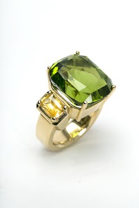
All photos
Young Man in Gray Overcoat on European Street
Oct 9, 2020
Blurred Map of the Caribbean Region
Blackfriars Station Entrance, London
Kuwaiti Dinar Banknote and Passport on Wooden Surface
U.S. Passport and Document on Wooden Surface
British £5 Banknote on World Map
Ecuadorian 5 Sucres Banknote on Map
Oct 5, 2020

Tahitian Pearl and Pavé Diamond Drop Earrings on White Background
Tahitian Pearl and Pavé Diamond Drop Earrings on White Background

Tahitian Pearl and Pavé Diamond Drop Earrings on White Background

Tahitian Pearl and Pavé Diamond Drop Earrings on White Background

Tahitian Pearl and Pavé Diamond Drop Earrings on White Background

Tahitian Pearl and Pavé Diamond Drop Earrings on White Background
