A close-up photograph of a printed political map of Europe, with focus on central and eastern Europe. Countries including Germany, Poland, Ukraine, Belarus, Czech Republic, Slovakia, and Austria are visible, along with major cities like Berlin, Warsaw, Kiev, Prague, and Vienna. The map uses different colors to distinguish countries and includes road networks and geographic labels. The background is softly blurred, emphasizing the central region.
Outdoor
All photos
Festive Poinsettia in Front of Christmas Lights
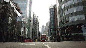
City of London Financial District Street View with The Gherkin