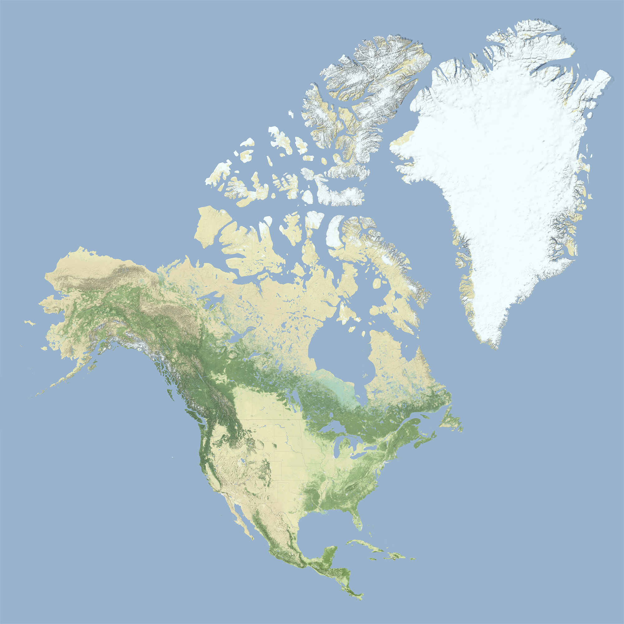
A detailed physical relief map depicting the continent of North America alongside Greenland, rendered in muted natural colors that indicate terrain and vegetation zones. The Rocky Mountains and Sierra Nevada are visible as darker green and brown ridges along the western coast, while the Great Plains appear as pale tan expanses in the interior. Greenland dominates the upper right, shown largely in white to represent its ice sheet, with the Canadian Arctic Archipelago visible to its west.
All photos

Write Ren App Logo and Wordmark
Mother and Daughter Laughing in a Moroccan-Inspired Courtyard
Oct 24, 2022
Blank Placeholder Frame
Dec 28, 2021
Dec 24, 2021
Jul 9, 2021

Park Güell Gatehouse Facade with Trencadís Mosaic Medallions, Barcelona
Red Double-Decker Buses on a City of London Street with the Gherkin
Aug 27, 2020
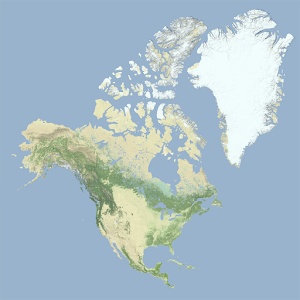
Physical Relief Map of North America and Greenland
Blonde Woman in Beige Trench Coat on Cobblestone Alley

Dec 13, 2019
Aug 21, 2018
Dark Textured Surface
